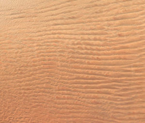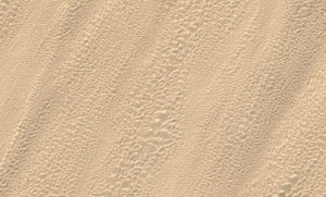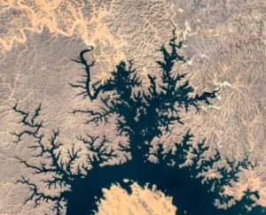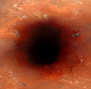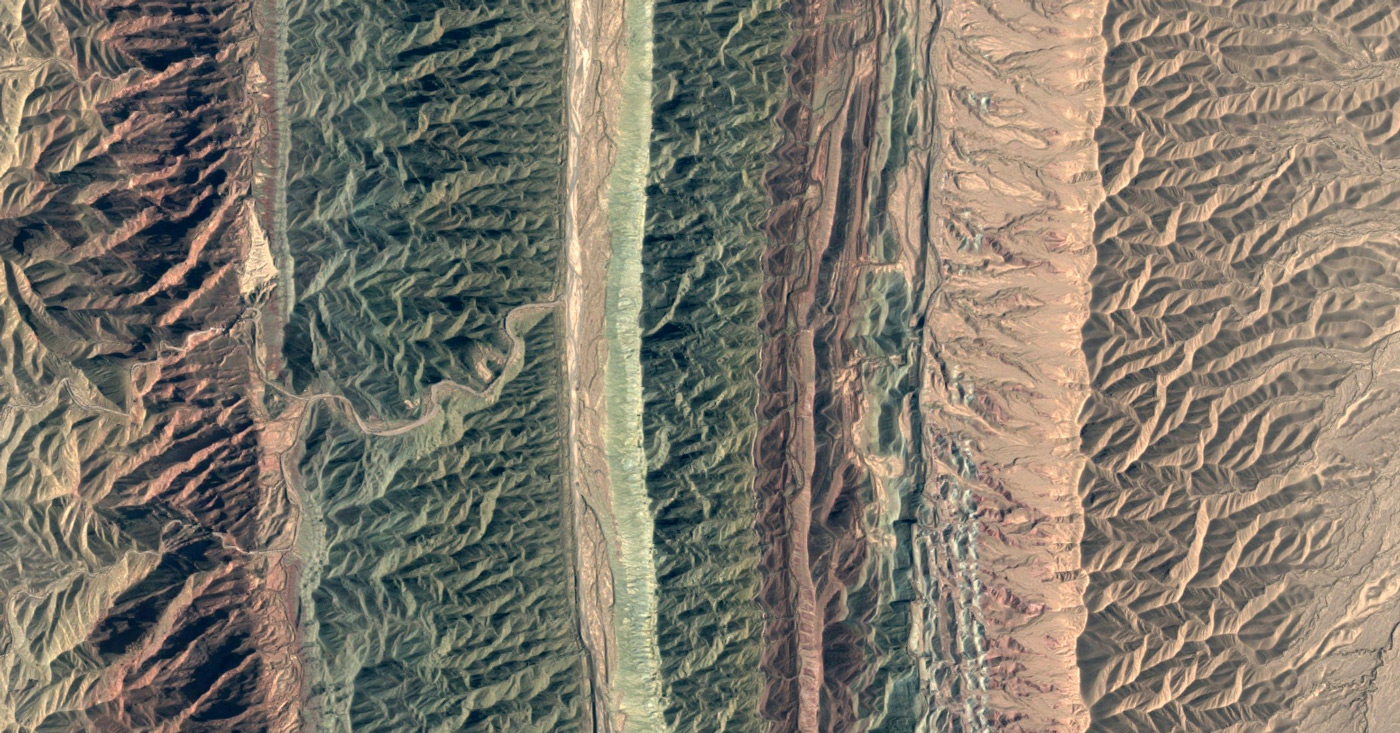
Some worldwide companies made the earth continents and islands nearly completely scanned. Nature on earth in my opinion, is a perfect inspiration for creative work. Satellite photos show us a different face of our well known earth. People always wanted to have a higher perspective, higher point of view.
Now we have it in our homes. But, from a photographer perspective, when we make screenshots from already taken satellite photos, what exactly are we doing? Plagiarism, or we just use it in a new way, making completely new shots? We have much to decide, when we make those screenshots. Determine an angle, orientation, distance, and purpose. In my opinion this is an interesting issue for a discussion.
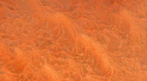
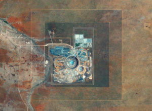
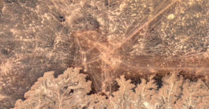
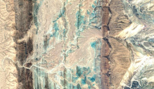
I want to show you some interesting (from my point of view) self made satellite screenshots: